Baliza trail National Park
Located in the Tierra del Fuego National Park, this easy trail leads you through a fascinating landscape, until you reach the shores of the Beagle Channel.
report_problem
IMPORTANT: During autumn/winter season it is necessary to take precautions due to the decrease in daylight hours, below zero temperatures, and icy or snowy conditions on the trails. It's essential to have the proper gear and footwear. In case of emergency call 103.
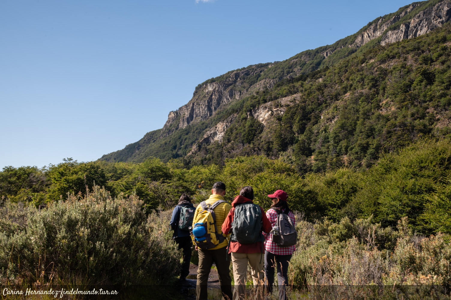
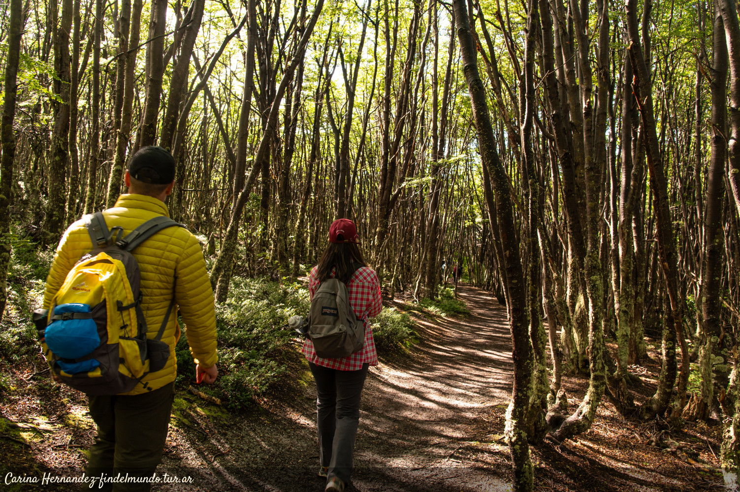
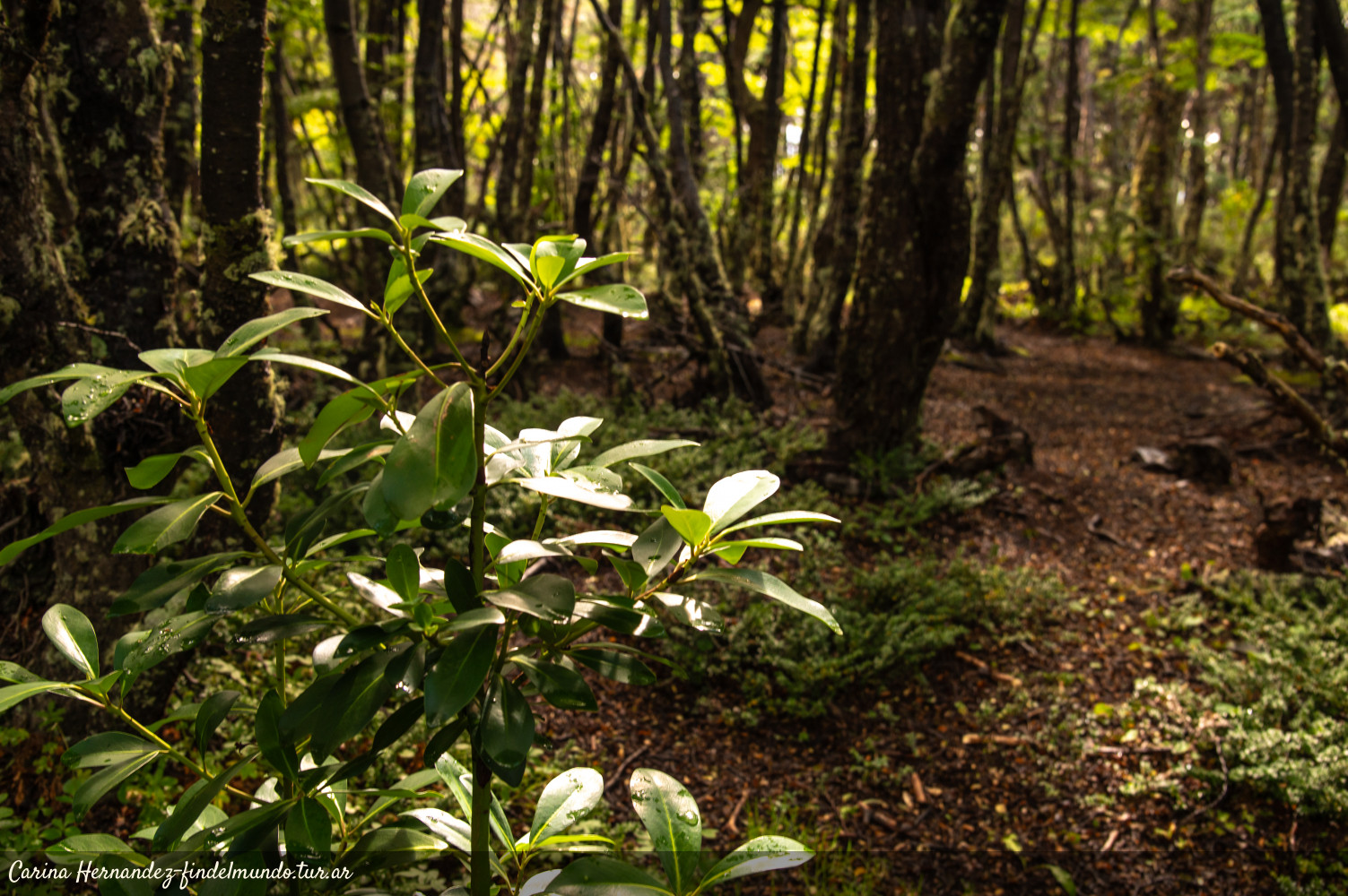
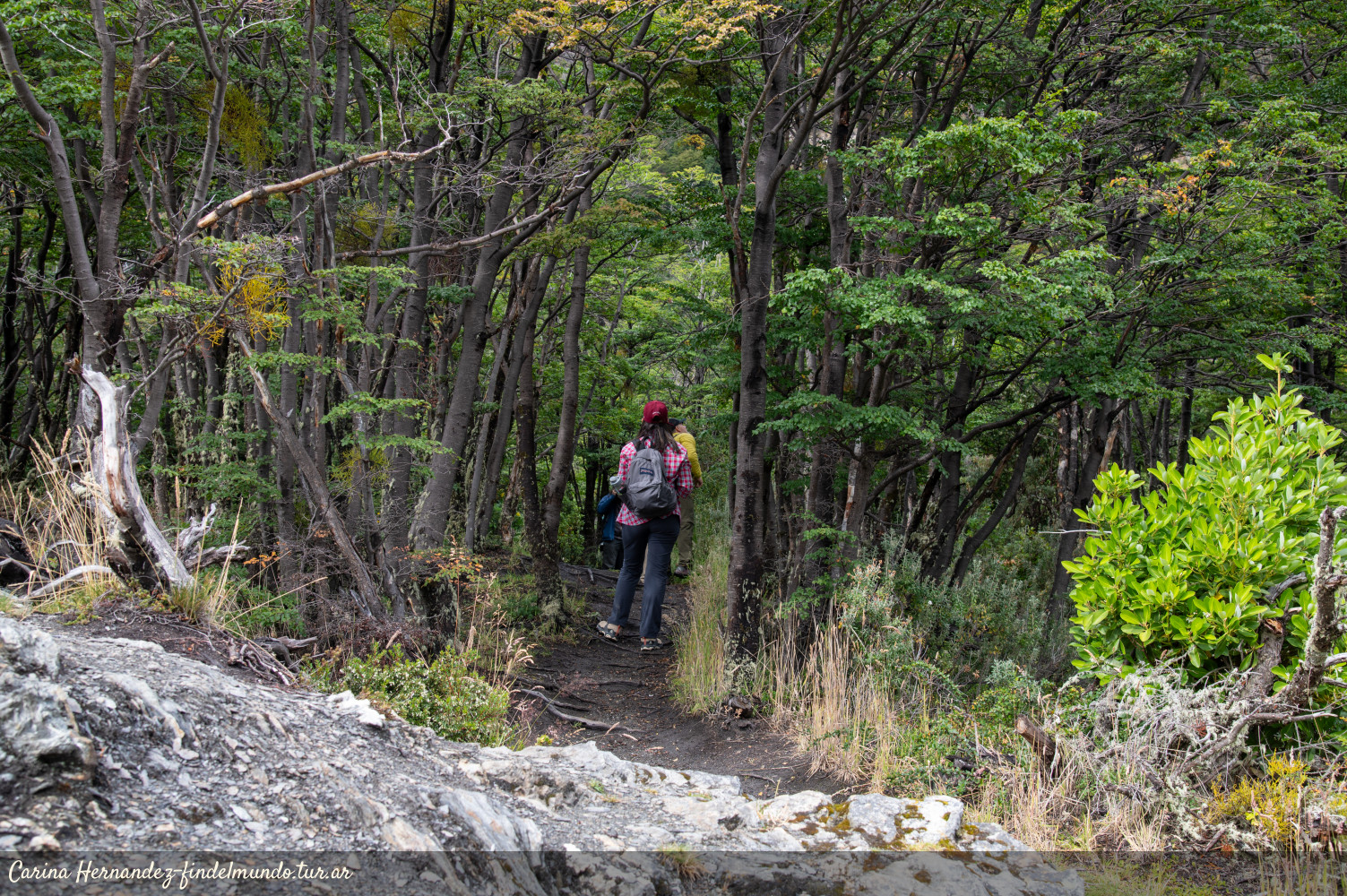
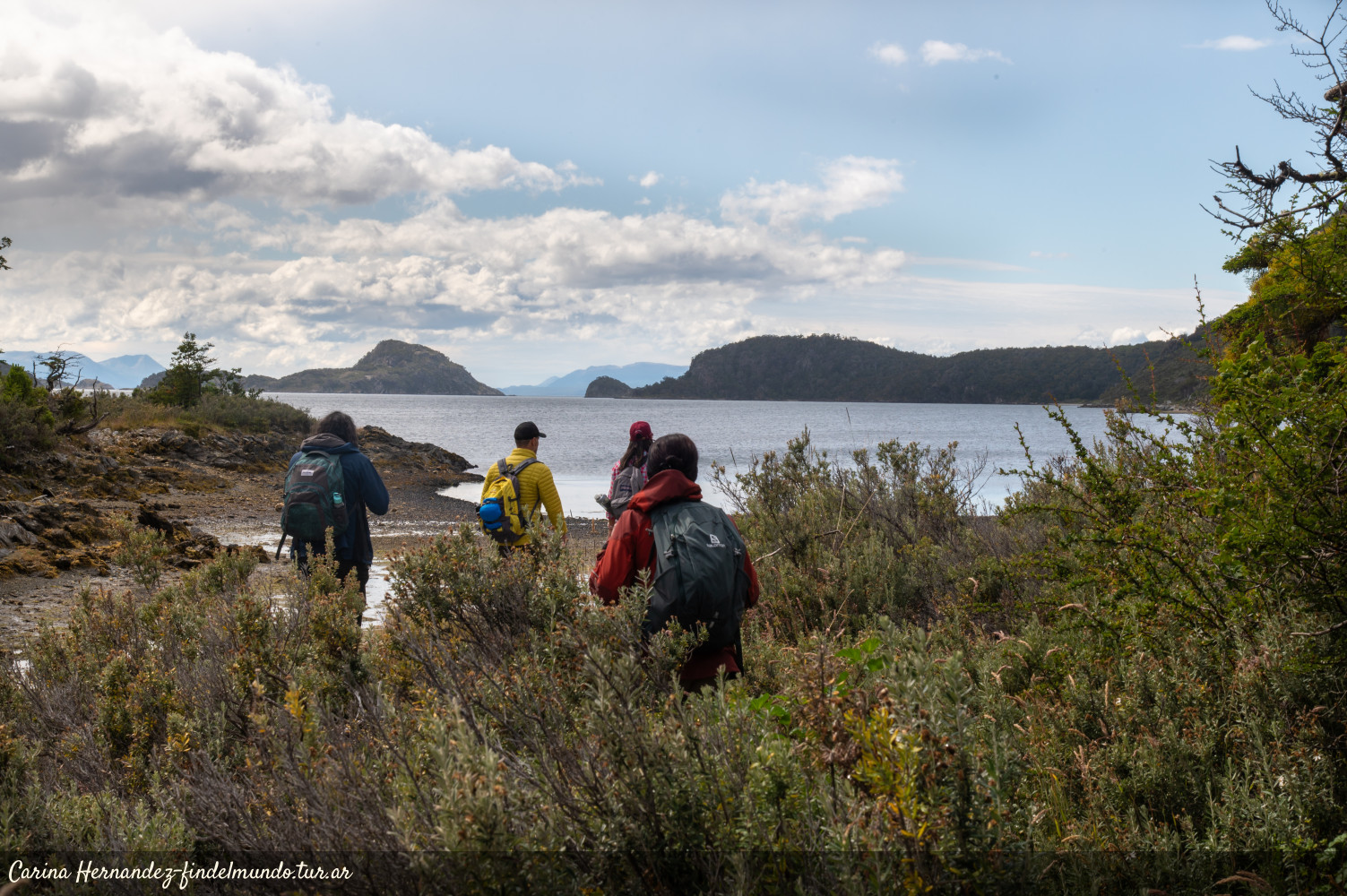

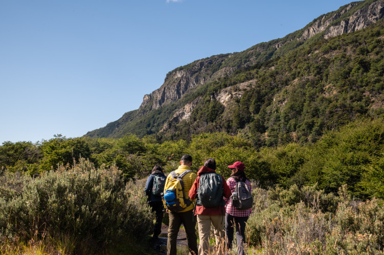
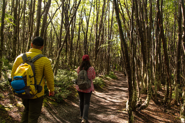
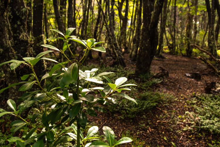
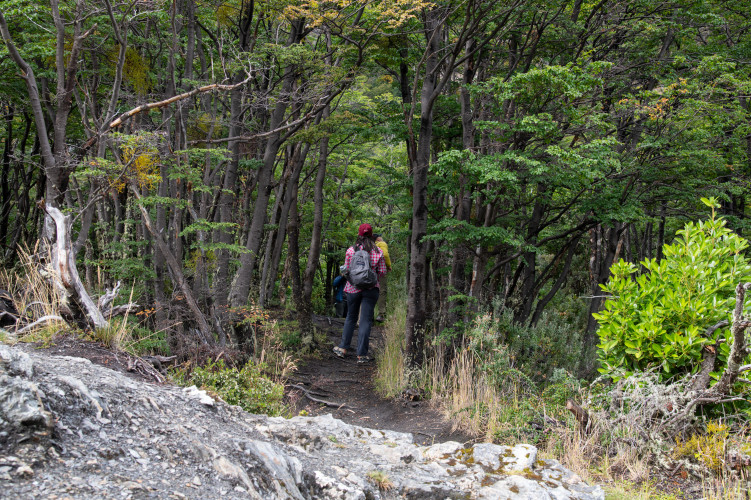
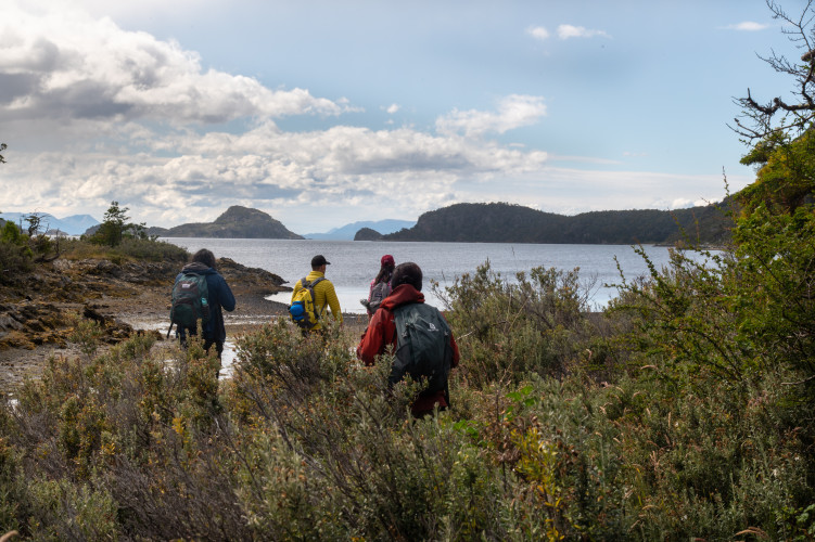
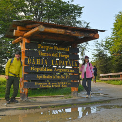
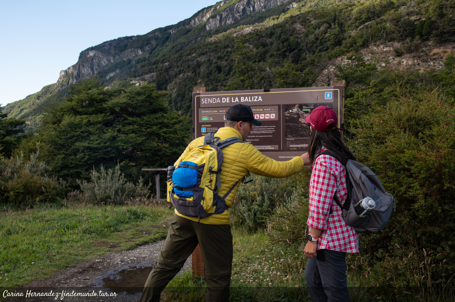
The final stretch of National Route 3 takes us to Lapataia Bay, in Tierra del Fuego National Park. Once there, you will see a series of wooden footbridges that lead to different trails. Turning to the right, after a few meters you will find the sign indicating the beginning of the Baliza trail. This low-difficulty hike will take you through a dense forest and beaver dams, until you reach the coast of the Beagle Channel.
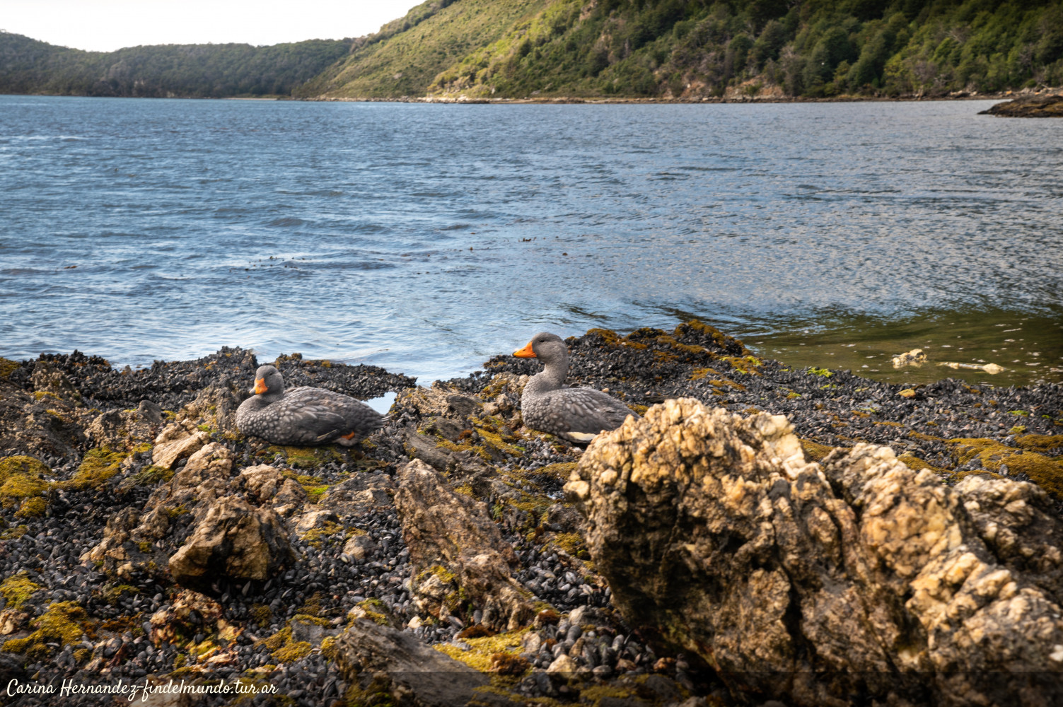
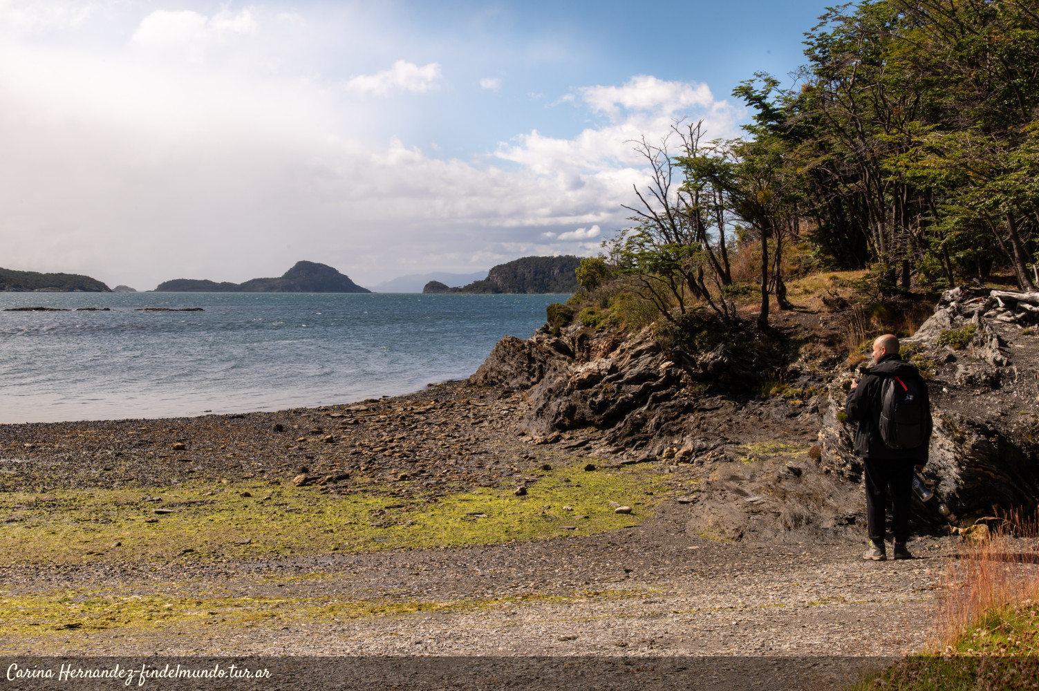
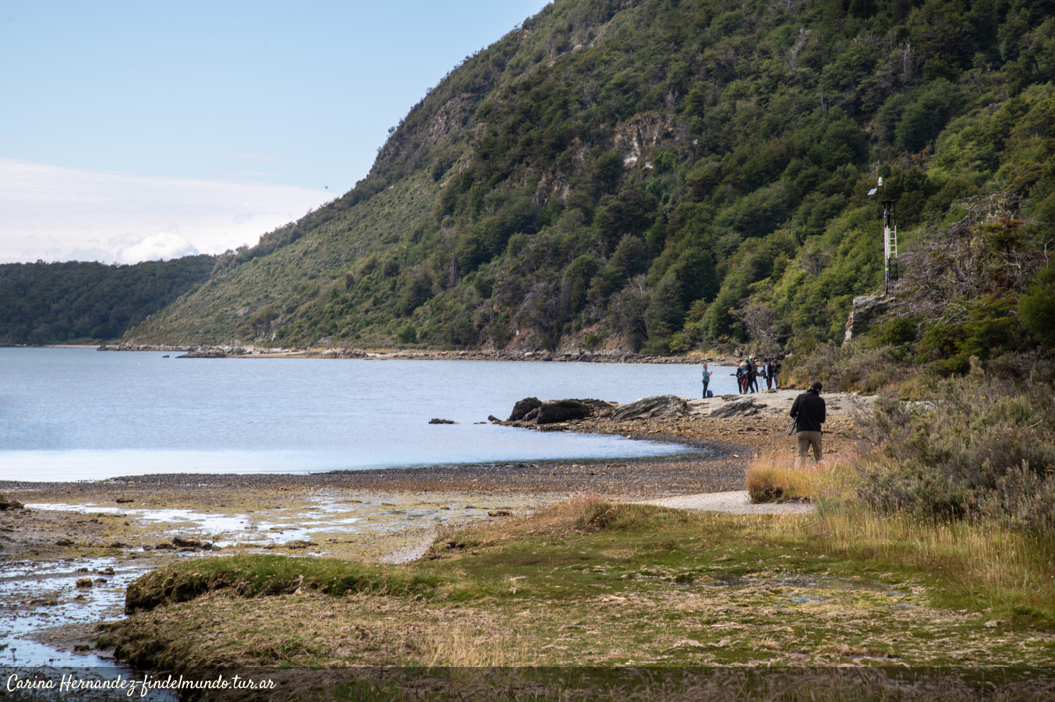
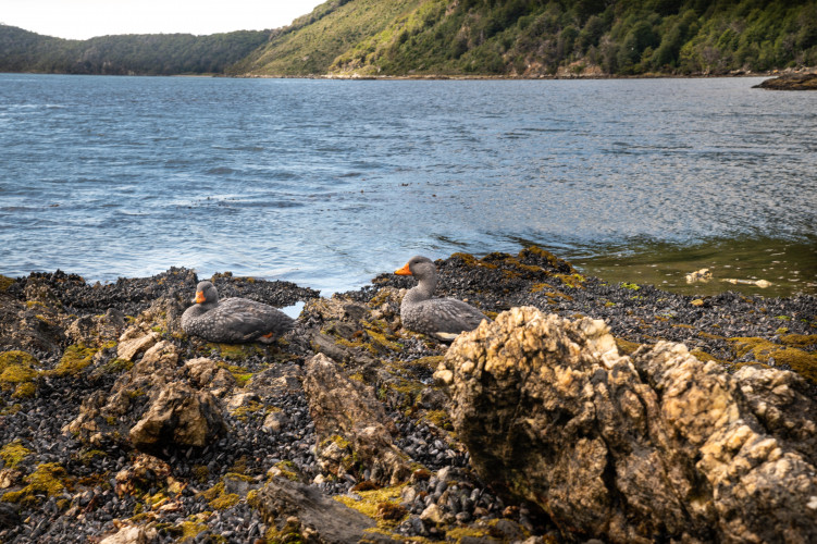
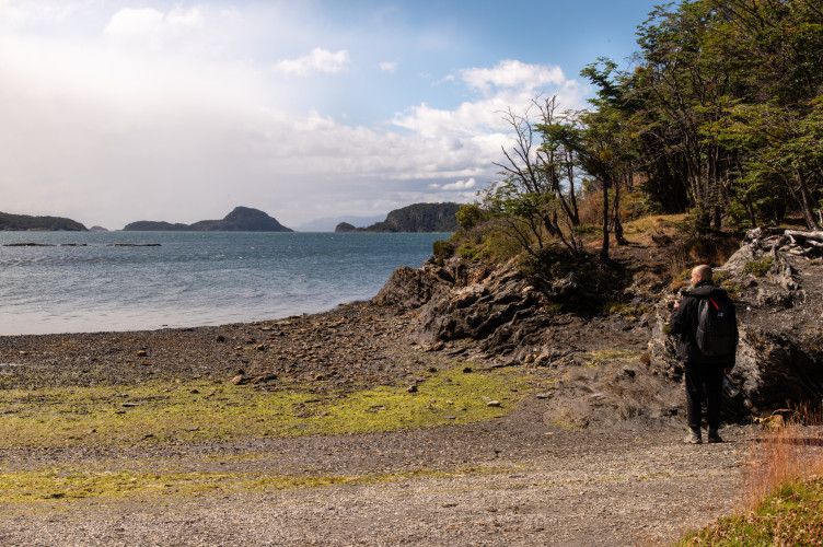
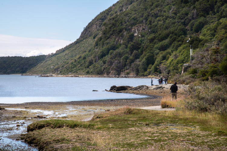
At the end of the trail, you can see an informative sign and the beacon that marks the boundary with the Strict Nature Reserve. This coastal area is a good location for landscape photography and birdwatching.
Open