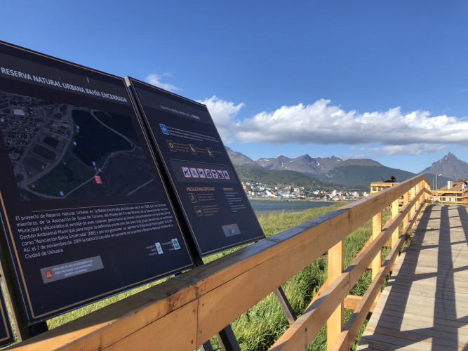
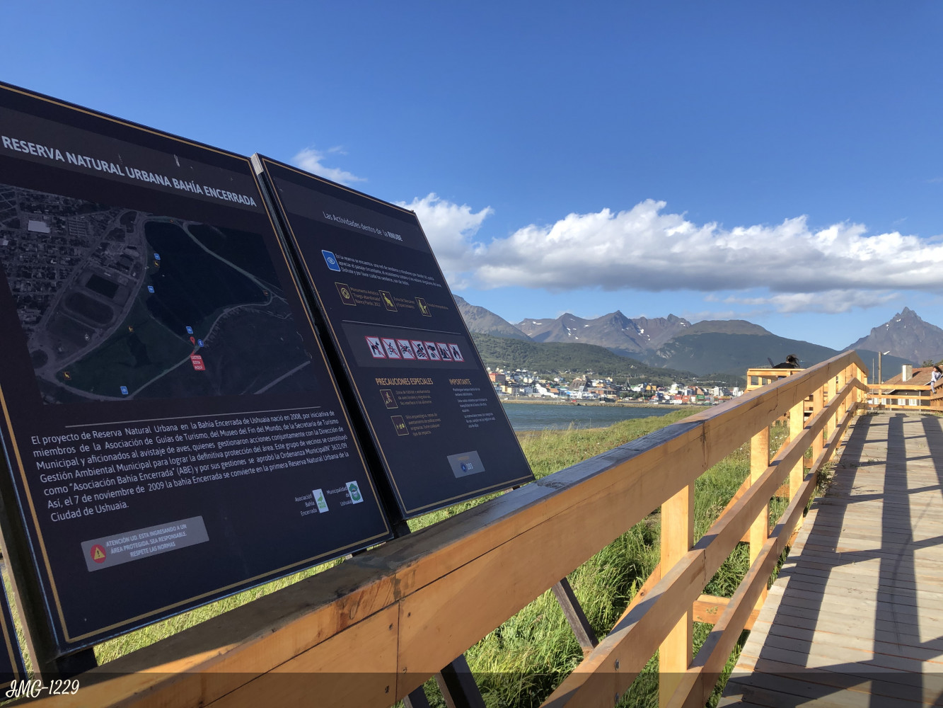
Bahía Encerrada Reserve
How to get here
Desde el Puerto y el centro de la ciudad de Ushuaia se puede llegar caminando por la Avenida costanera Prefectura Naval Argentina, en un trayecto de no más de 7 minutos en dirección oeste.
¿Are you in Tierra del Fuego? Check how to get here from your location
directions_walk directions_carLocation: This reserve in the heart of the city of Ushuaia, and is made up of the mirror of water and adjacent public spaces delimited: to the north by the Argentine Prefectura Naval Avenue, to the south by the Teniente Berraz street, to the east by the Luis footbridge Pedro Fique and west on Capitán Mutto street.
Conservation value:
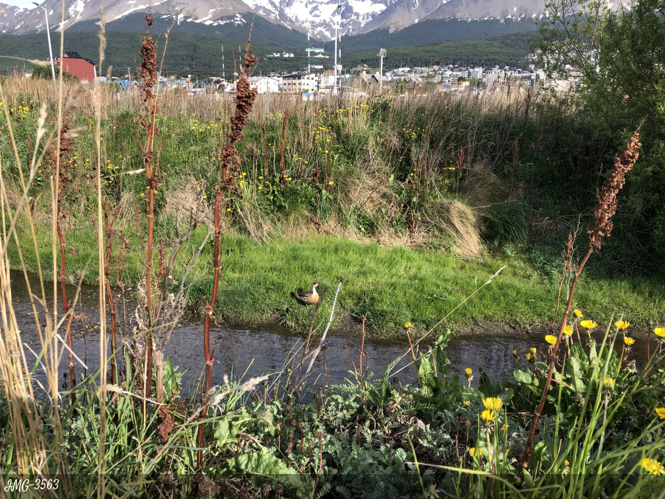
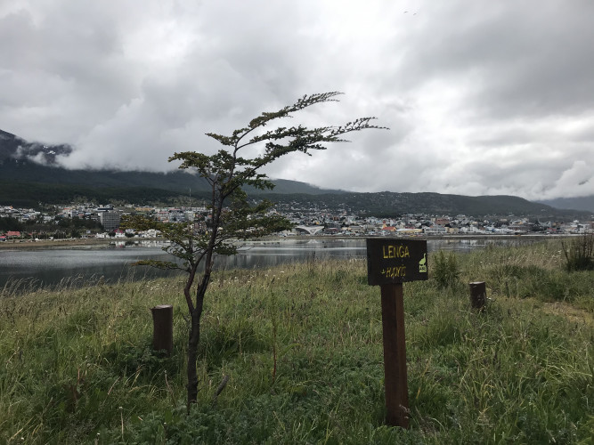
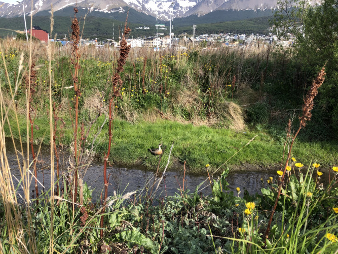
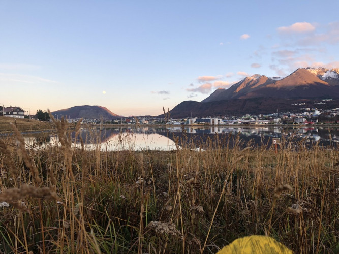
The reserve has great scenic and recreational value and stands out as the natural habitat of 49 species of birds in a space that is located in the heart of the city of Ushuaia.
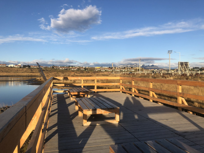
What services does it offer?
It is an open walk, without restrictions for visits and for the moment it only has identification signs. However, it is an excellent alternative for bird watching within the urban matrix, during spring and summer.
Description:
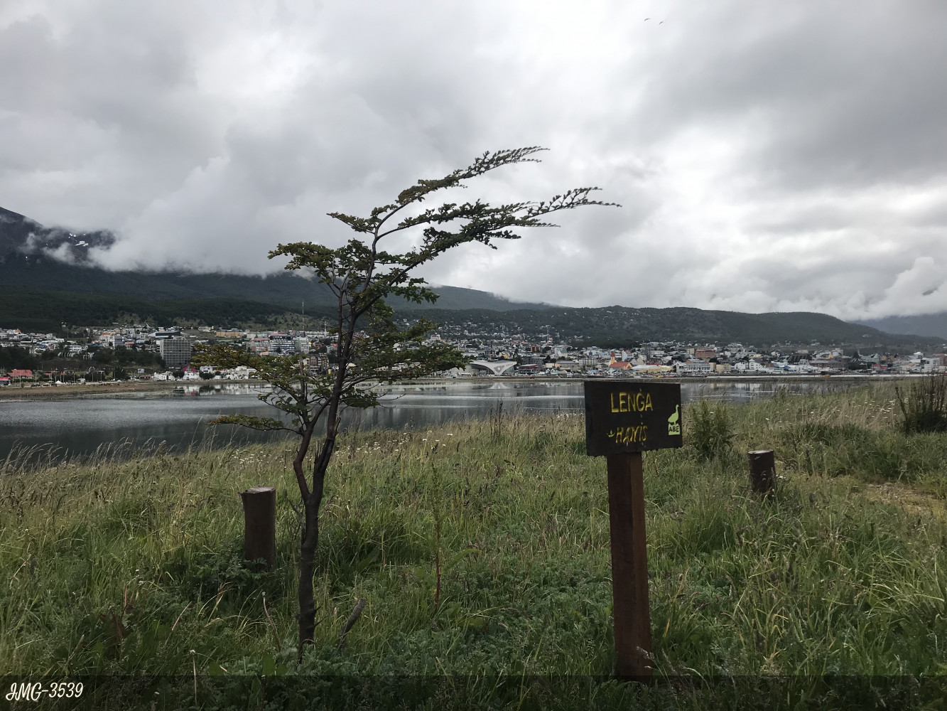
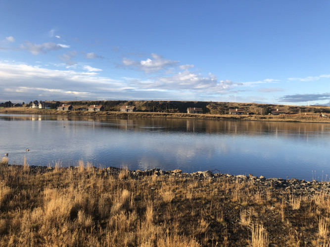
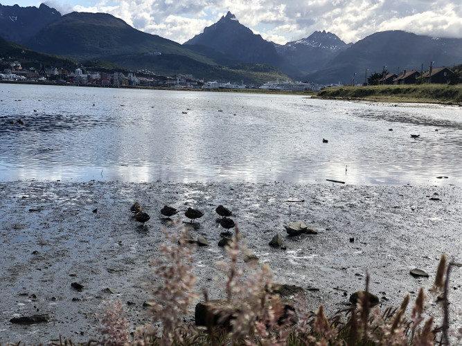
It is a sector of the great Ushuaia Bay, which was isolated by the footbridge "Luis Pedro Fique", and was called Bahia Encerrada. It has a triangular shape and has an area of 31.66 ha. of which 21.43 correspond to the water mirror; the depths vary between 0.8 and 1.6 m. The wetland and grasslands are the ideal place for nesting birds, more than 50 species can be observed within the reserve and its surroundings, many of them migratory. Some of these are the witch heron, caranca, black oystercatcher, magellanic oystercatcher, flying kestrel, cook gull, duck crestón and common superimposed, among many others.
It has the best views of the southernmost city in the world, the Beagle Channel, Mount Olivia and the mountain ranges that surround the city. The cause of the Buena Esperanza stream converges towards the lagoon. This, added to the closure of the bay, has completely reduced the salinity of the water, so in winter it used to freeze.
Creation story:
In 1944 began the construction of a passage of 600 m long by 20 wide on a sector of Ushuaia Bay, with the purpose of joining the old airstrip with the city, gaining a lagoon aspect. The work was initiated by the prisoners of the prison, and then by personnel of the Naval Base in 1950, since the prison closed in 1947. In the bay the cause of the Buena Esperanza stream flows along with some sewage drains. This situation produced both the decrease of the salinity of the water, allowing its freezing in past winters, as well as its contamination. For this reason, in 1993 the opening of two channels in the passage that allow an exchange of water and sediment, with the open sector of Ushuaia Bay. Currently, a project is underway to finalize its final cleanup. On the initiative of a group of neighbors, in 2009, the bay was declared an Urban Natural Reserve, by municipal ordinance No. 3631. The administrative entity is the Municipality of Ushuaia.