Playa Larga Reserve
Playa Larga, is a small but very showy, provincial reserve located in the coasts of the Beagle channel, next to the city of Ushuaia. It protects archaeological sites of high cultural and historical value.

How to get here
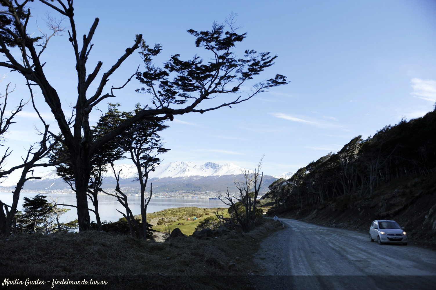
Se accede desde la ciudad de Ushuaia, a través de la ruta Provincial Nº 30, cuya traza constituye el límite norte de la Reserva.
¿Are you in Tierra del Fuego? Check how to get here from your location
directions_walk directions_carTrekking trails
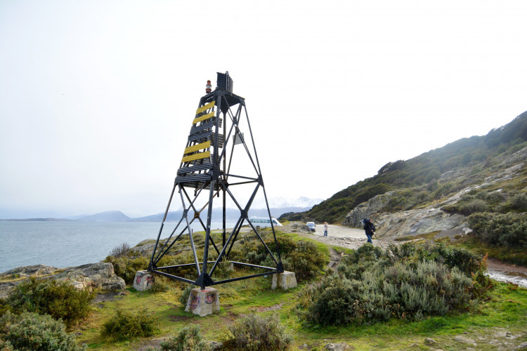
Estancia Tunel trailLocation:
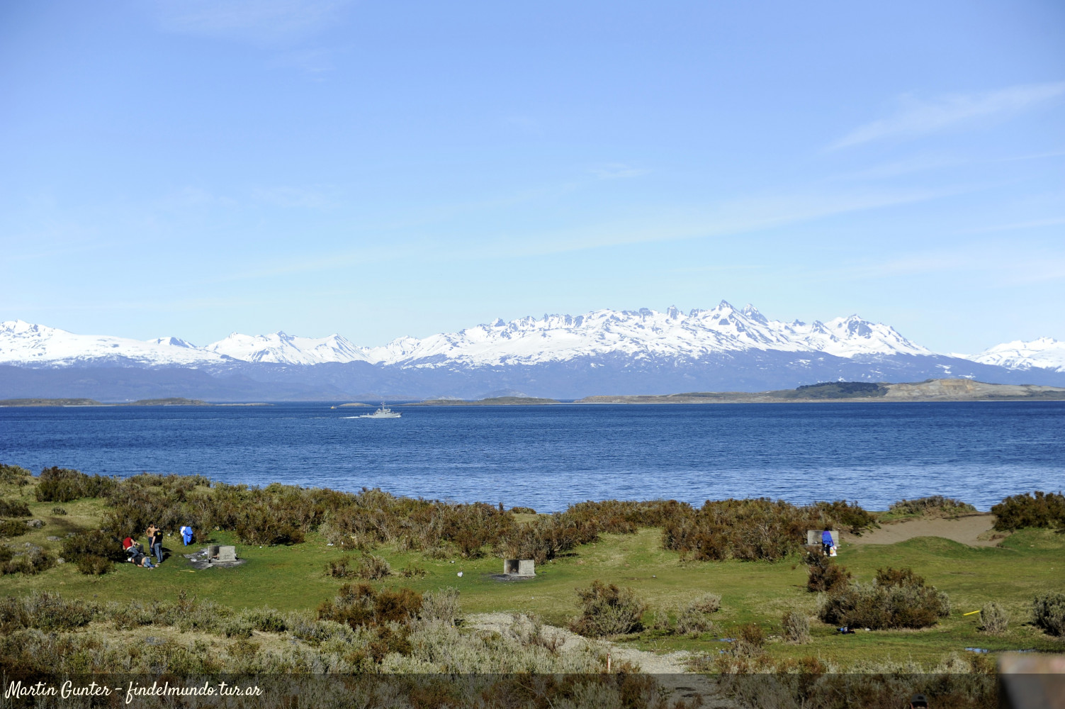
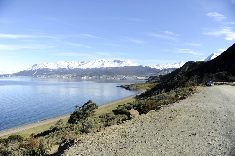
located east of the City of Ushuaia, on the coast of the Beagle Channel. It includes a coastal strip that includes the eastern third of the so-called Playa Chica and the whole of Playa Larga.
Conservation value:
The conservation value of the reserve is given by the presence of archaeological sites discovered and to be discovered, constituting the Cultural Heritage of the Province. The archaeological sites of the region are "concheros", constituted by the superposition of mollusc shells and archaeological materials, barely covered in surface by a thin layer of vegetation. These are extremely fragile deposits, exposed to destruction due to ignorance.
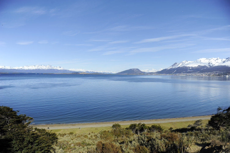
To this we must add the high landscape value of the area, which as a natural amphitheater provides an impressive view of the Beagle Channel and the city of Ushuaia.
What services does it offer?
In addition to appreciating the deposits, the reserve area has fireplaces that are structures in which fire is allowed (only when the rate of fire is low or moderate). Many visitors arrive for walks and other recreational activities.
Description:
The reserve has an area of 24 hectares and corresponds to the southern slope of the Sierras de Sorondo, in the cordilleran area of Tierra del Fuego. These slopes, which present discontinuous slopes, were modeled by the action of the glacier that occupied the Beagle Channel. In Playa Chica there are five levels of well-developed terraces, which had as origin seismic-tectonic movements of ascent followed by periods of calm of the crust in which there was the accumulation of beach sediments (Holocene period).
The climate is "temperate-cold", of an oceanic type, with predominant winds from the southwest.
On the slopes, from its highest part towards the coast, different types of vegetation can be observed. The sector of evergreen forest, being the dominant species the cherry (Nothofagus betuloides) associated with the canelo (Drymis winterii). Then, it changes into a bushy shrub, where the black bush (Chilliotrichum diffusum), the calafate (Berberis buxifolia), the michay (Berberis ilicifolia), the notro (Embothrium coccineum) with isolated specimens of maitén (Maytenus magellanica) dominate. Towards the coastline we find a strip of herbaceous vegetation, which presents an important deterioration by grazing and trampling.
The predominant winds whip vegetation, and originate the characteristic "flag trees" with their branches oriented and inclined to leeward.
It is possible to observe numerous coastal birds such as seagulls (Larus dominicanus), coastal caucho (Chloephaga hybrida), southern oystercatcher (Haematopus leucopodus), black-necked cormorant (Phalacrocorax magellanicus), common steam duck (Tachyeres pteneres) and Patagonian remolinera (Cinclodes patagonicus). ). In the forest we can see austral parakeet (Enicognatus ferrugineus), Patagonian thrush (Turdus falcklandii), chingolo (Zonotrichia capensis), rayadito (Aphrastura spinicauda), and Patagonian fringil (Phrygilus patagonicus).
It is very common for scavengers such as the caracara (Caracara plancus) and the chimango (Milvago chimango) to approach the camps trying to take advantage of our waste, while the Andean condor glides over our heads.
Creation story:
The Indians who inhabited in the past the coasts of the Beagle Channel, the Yámanas, were canoers adapted to the exploitation of marine resources whose economy was based fundamentally on the hunting of marine mammals and the collection of coastal resources. According to the studies carried out, the portion of coastline between the mouth of the Olivia and Remolino rivers constitutes the only preserved sector of the Yámana occupation in Tierra del Fuego.
With the arrival of the first settlers of foreign origin, the use of the spaces that correspond to the Playa Larga Reserve changed, being used for grazing. One of the estancias that use them for this purpose is the Estancia Río Olivia, located near the mouth of the Olivia River.
The Reserve was established by Provincial Law No. 384 in 1997, is created within the framework of the provisions of Provincial Law No. 272, with the purpose of protecting, preserving and preserving archaeological sites discovered and to be discovered, since the same they constitute, in themselves, the Cultural Heritage of the Province and therefore a source of information about the habits and customs of the human groups that inhabited the coasts of the Beagle Channel. Restricted Use Zones (intended for research) and Controlled Use (research and public visit) are delimited within the Reserve.
Until the construction of Provincial Route 30, access to the current reserve was made on foot, it has a high influx of visitors, mostly residents of the city of Ushuaia, who use the area for recreational purposes, mainly in summer season.