Monte Susana trail
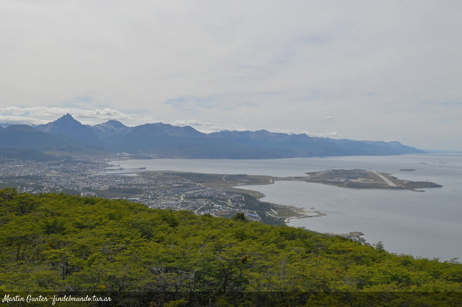
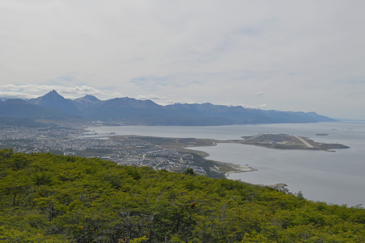
In the vicinity of Ushuaia this trail leads to the summit of Monte Susana, where you can see stunning views of the city,the Beagle Channel and the National Park.
report_problem
IMPORTANT: During autumn/winter season it is necessary to take precautions due to the decrease in daylight hours, below zero temperatures, and icy or snowy conditions on the trails. It's essential to have the proper gear and footwear. In case of emergency call 103.

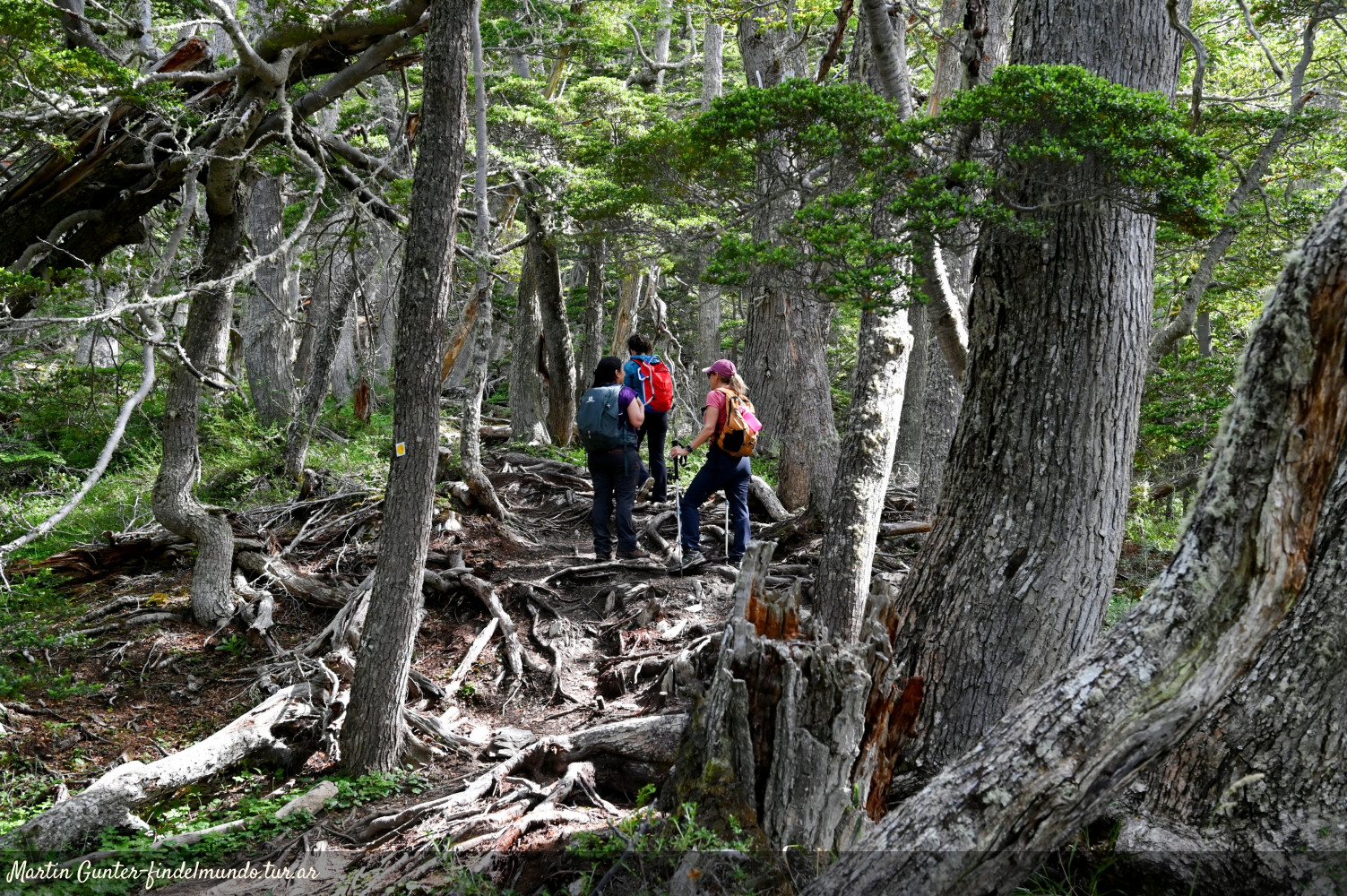
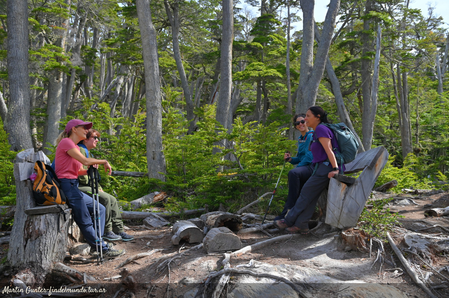
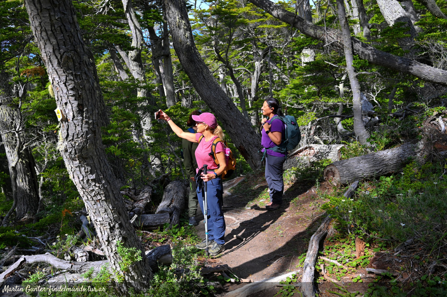
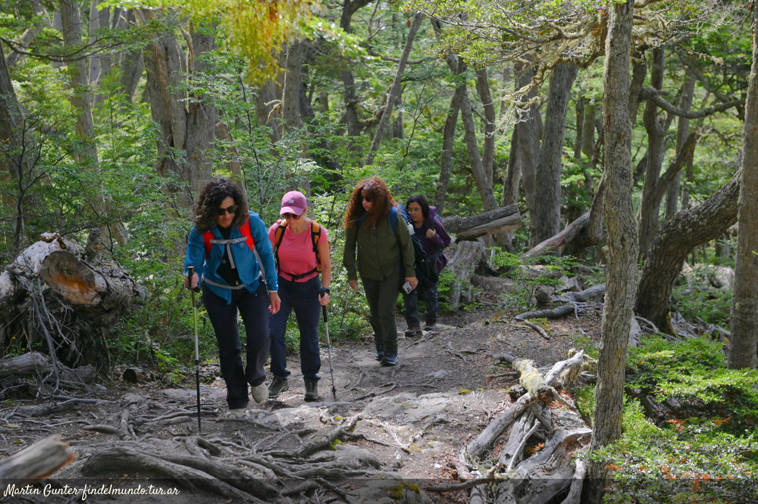
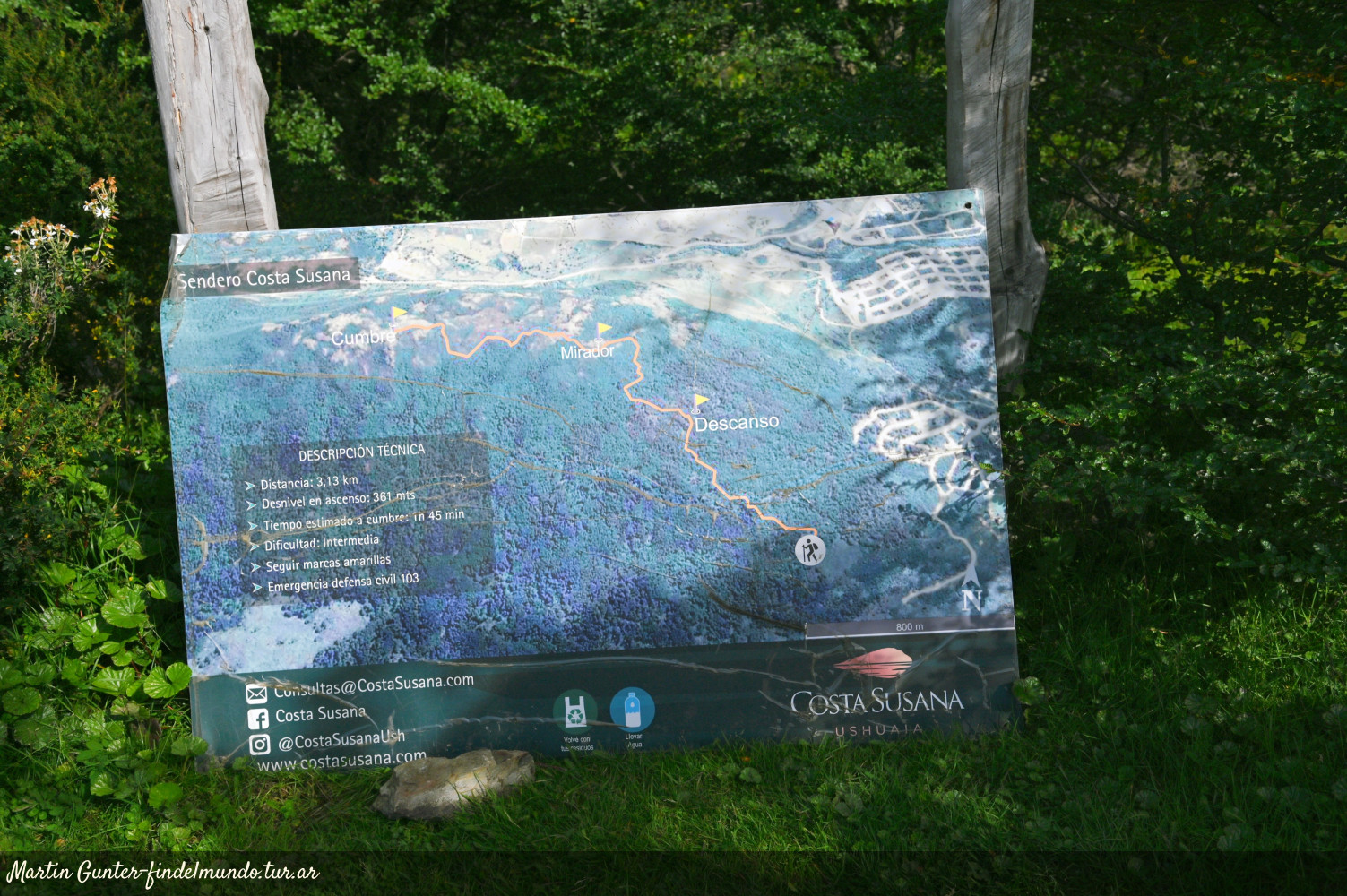
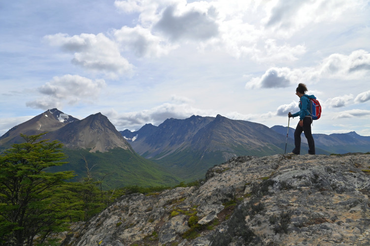
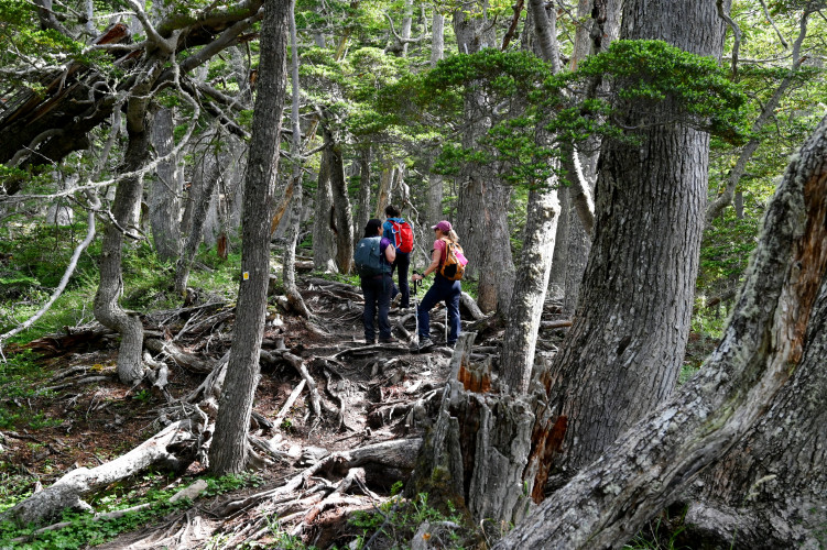


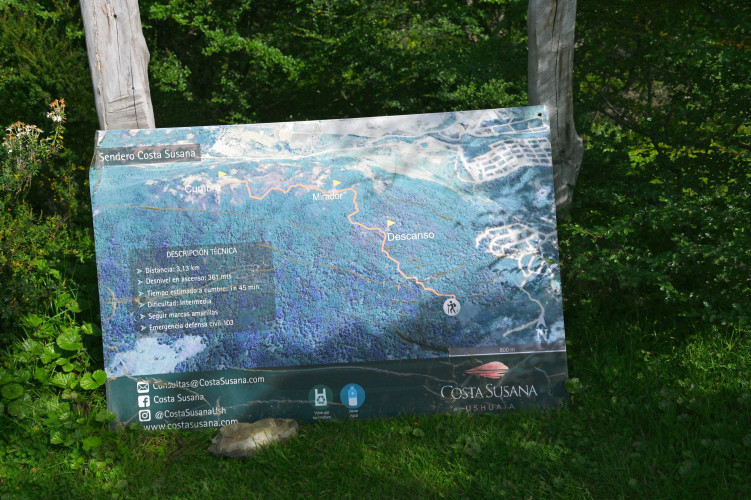
The Monte Susana is located on the Western end of the city of Ushuaia, between the Río Pipo neighbourhood and the borders of the National Park. The trail begins at the end of Los Ñires Street, at the entrance of the Costa Susana neighbourhood. It is well marked, and ascends along the southeast face of the hill. This trekking has a medium difficulty due to the conditions of the trail in some areas; it may be muddy and covered with loose rocks and tree roots.
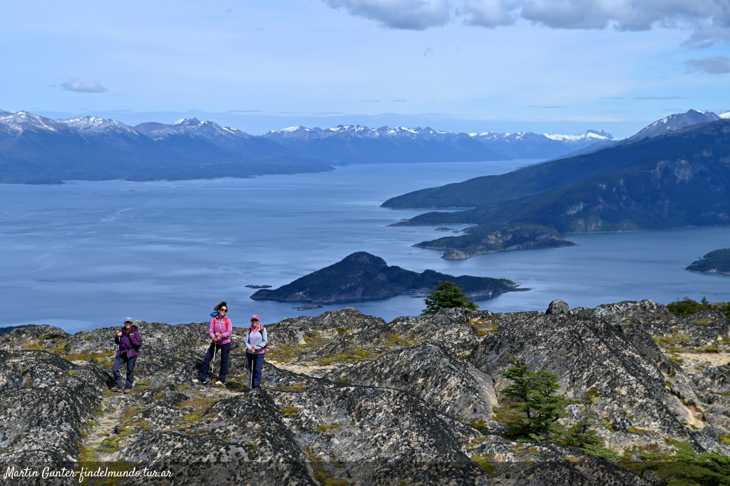
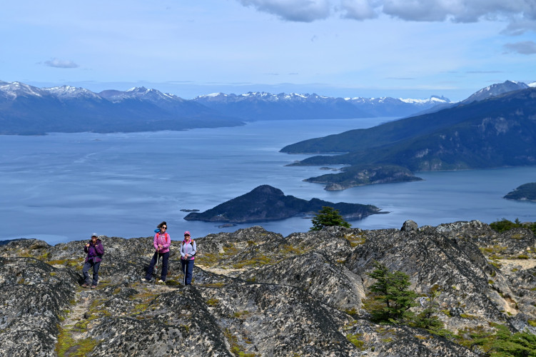
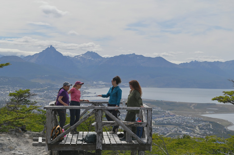
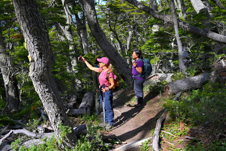
After almost an hour of hiking, you will reach a viewpoint where you can take a rest and enjoy the views of the city, the Beagle Channel and the mountain range.
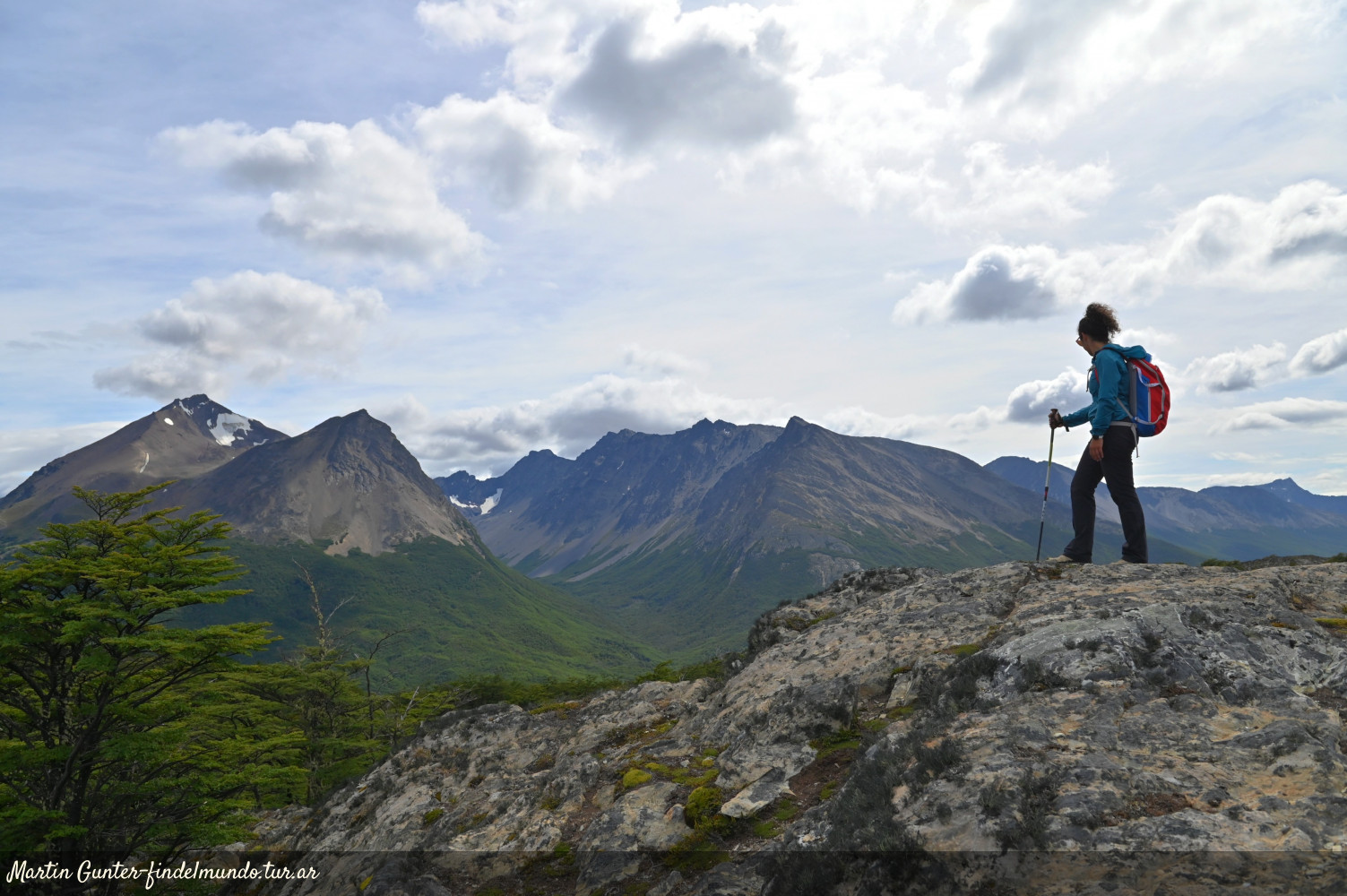
Continuing the ascent, you´ll get to the summit of Monte Susana, at 500 metres above the sea level. There you´ll have a stunning 360º panoramic view of Ushuaia, the National Park, the Beagle Channel,and two ravines, Cañadón de la Oveja and Cañadón del Toro.
The best time to do this hike is between the months of October and April. During winter is recommended to hire a guide, due to weather conditions and ice on the trail.
Open. It is recommended to hire a guide