Cerro Michi trail
Near the town of Tolhuin, this hike will lead you to one of the best panoramic views in the heart of the island.
report_problem
IMPORTANT: During autumn/winter season it is necessary to take precautions due to the decrease in daylight hours, below zero temperatures, and icy or snowy conditions on the trails. It's essential to have the proper gear and footwear. In case of emergency call 103.
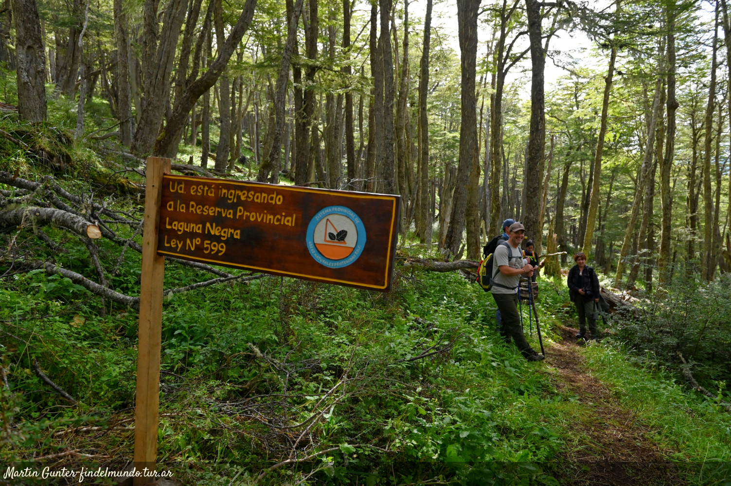
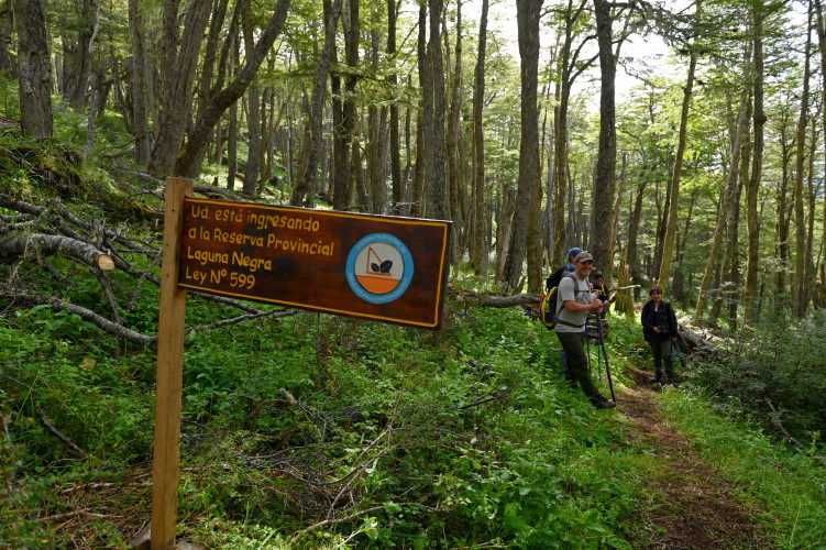
The entry to this trail is located in the Laguna Negra Nature Reserve. To get to this area, you must drive into the town of Tolhuin, and head northwest through Los Ñires Avenue. Driving past a supermarket called La Anónima, you must continue for 150 metres until you see a sign that leads to the Reserve. Then turn right, and drive for about 5 kilometres until you reach a fork. Take the road to the lef and continue until you get to the rangers post parking area at the Reserve.
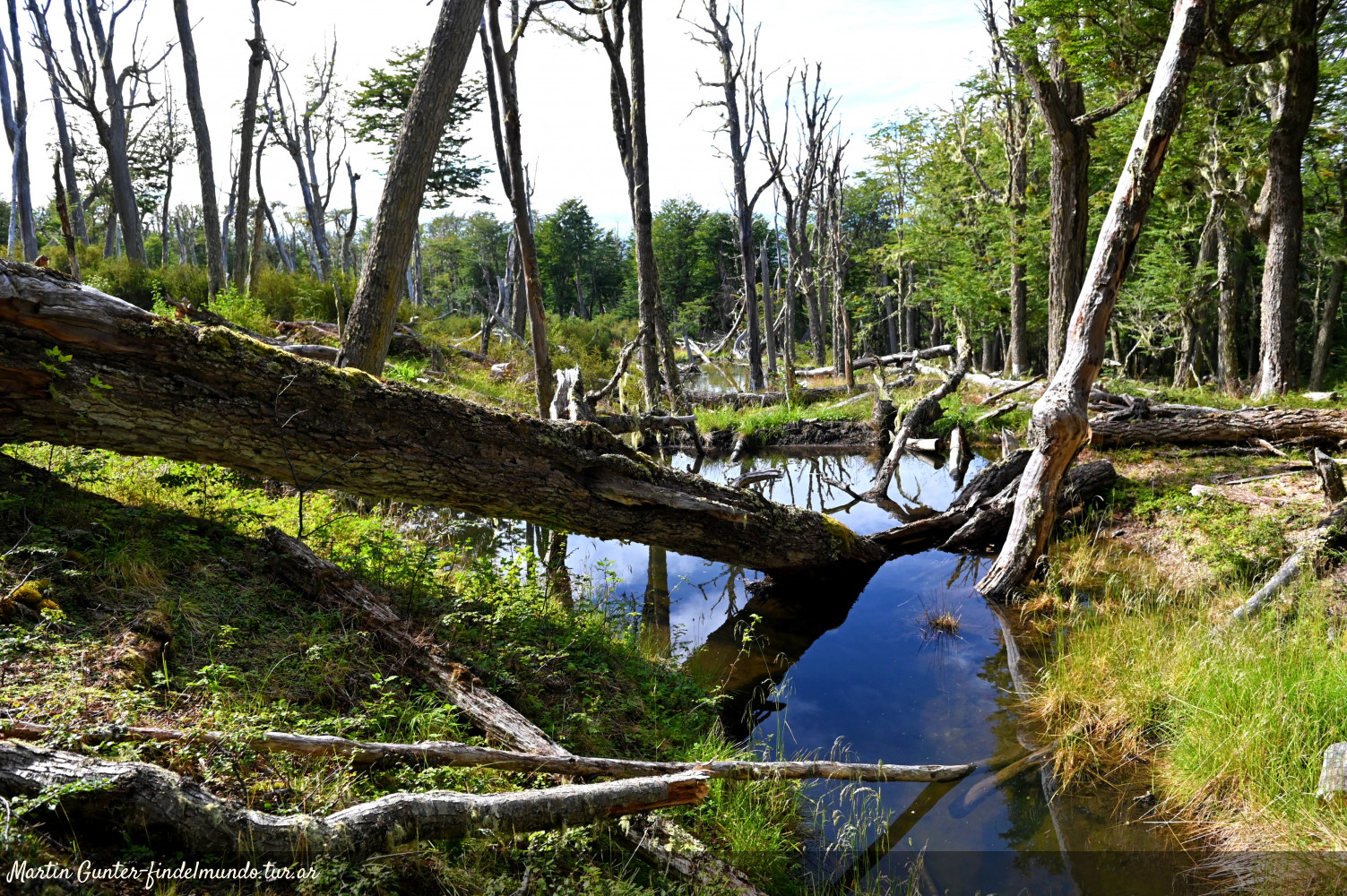
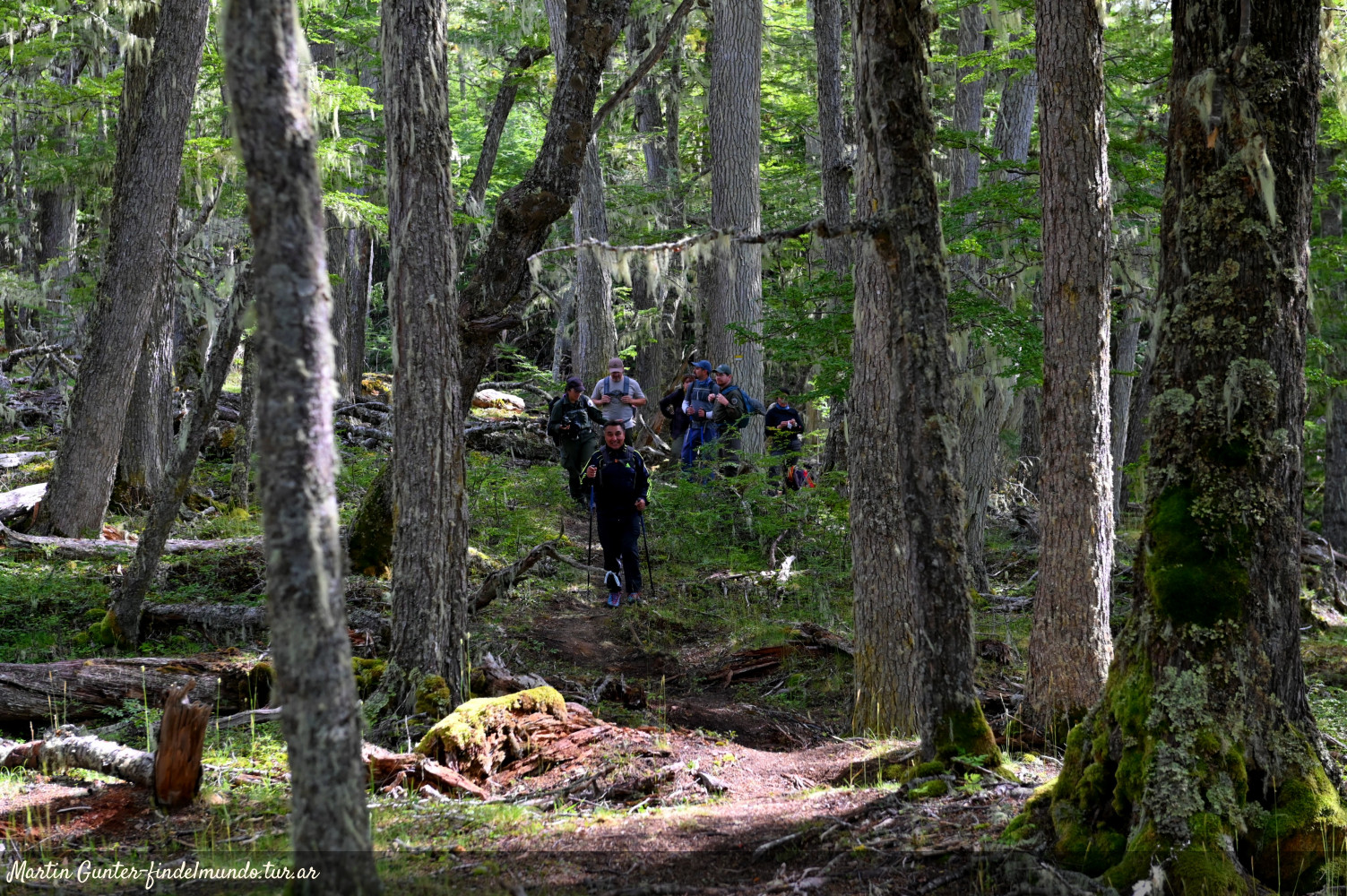
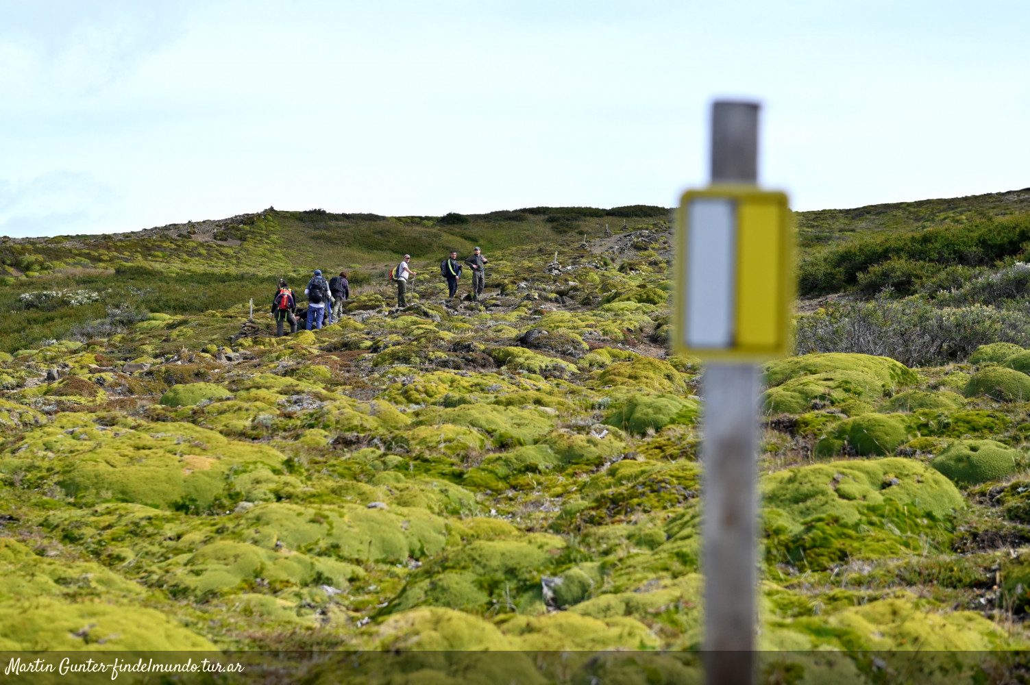
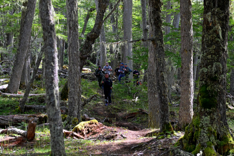
An informative sign marks the beginning of the trail, which goes through the Laguna Negra Reserve first and then crosses into the Corazón de la Isla Nature Reserve. The forest here consists of lengas, ñires, bushes and peat bogs and its the natural habitat of species such as the guanaco, the red fox and birds like the condor, the woodpecker, the austral trush,and the thorn-tailed Rayadito.
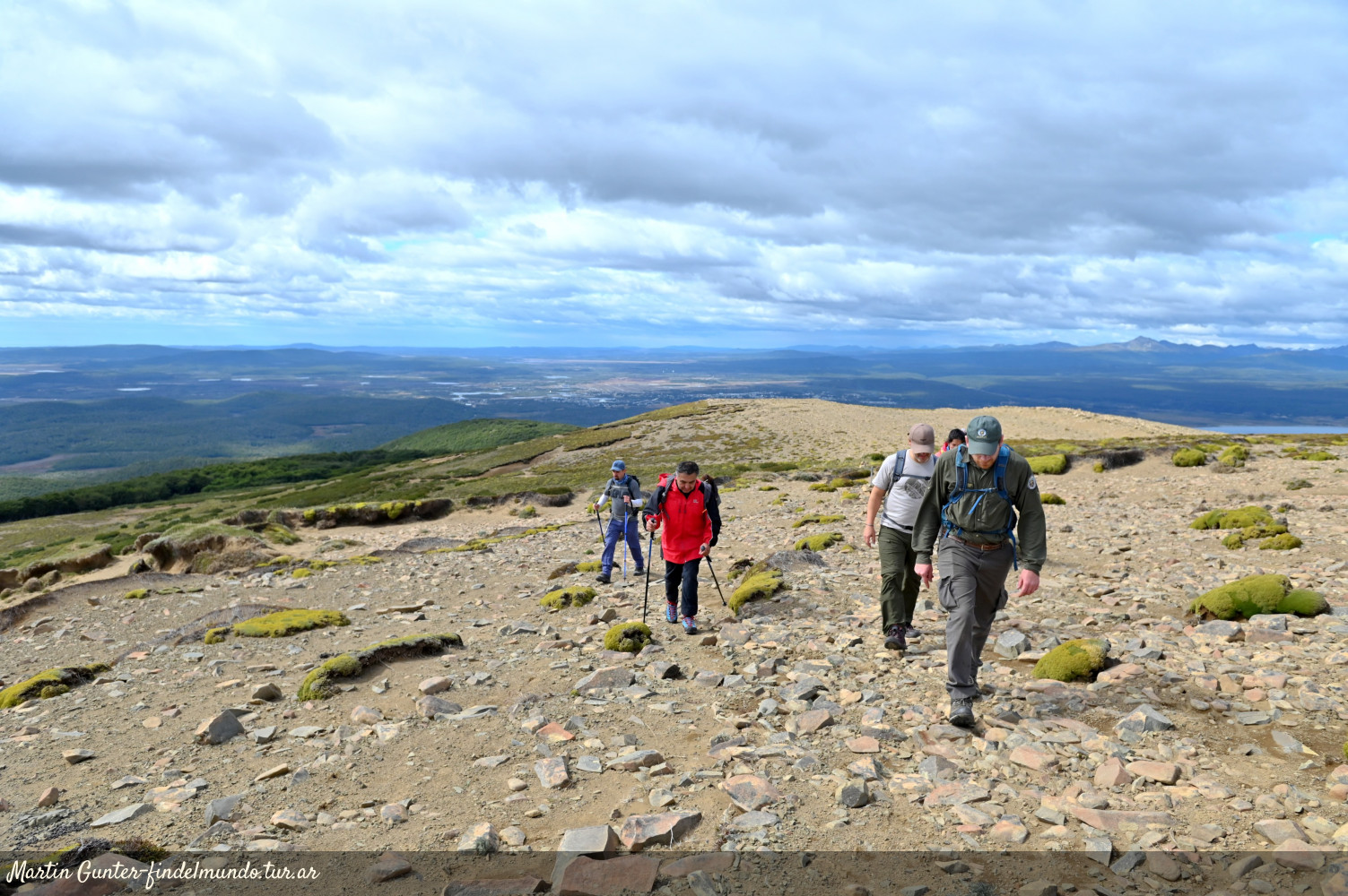
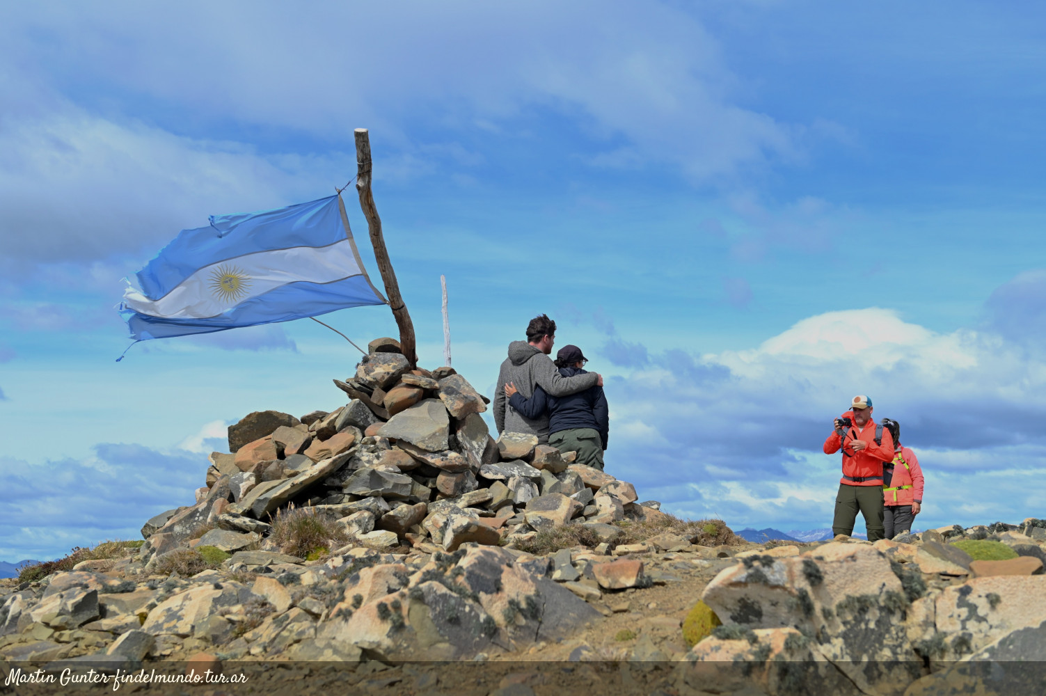
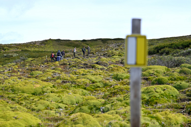
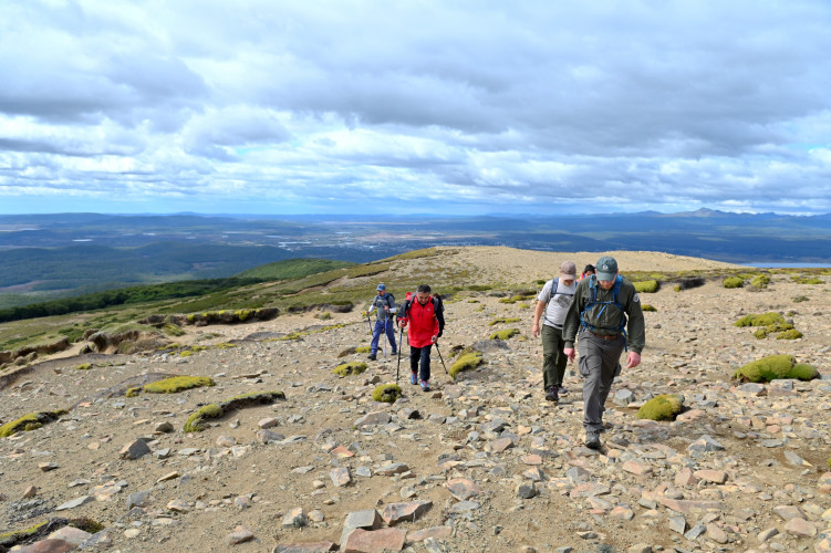
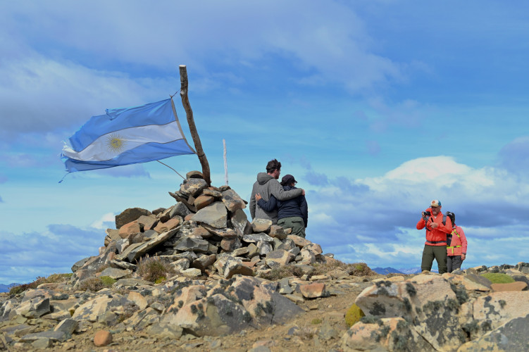
This is a high difficulty trek, reaching 700 metres above sea level. The end of the trail is marked with a pile of stones.
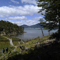
Once at the summit of Cerro Michi you'll find a panoramic view of 360 degrees, which includes the lakes Fagnano, Chepelmut, Yehuin,and Yakush. On clear days, part of the Atlantic Coast Nature Reserve is visible from the summit.
IMPORTANT INFORMATION: Do not hike the Cerro Michi trail when there are strong winds (more than 70 km per hour) due to risk of falling trees.
The trail is closed during the months of August and September (thaw season).
Open